- Distance
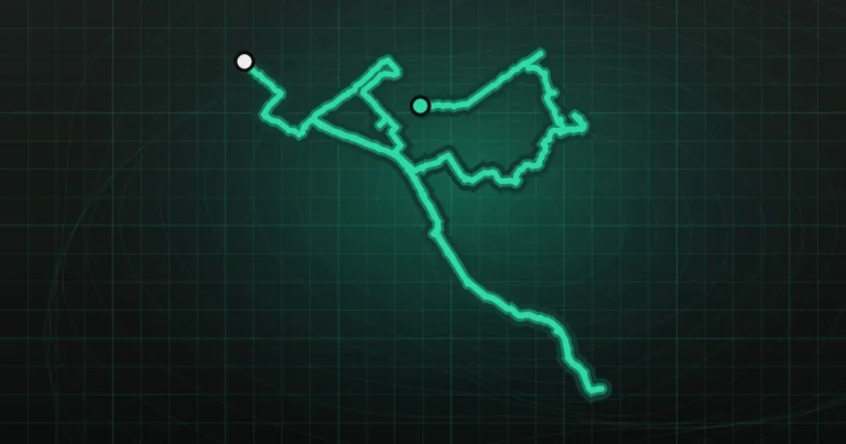
- 8.81 km
- Trail type
- Loop
- Elevation gain
- 311 m
- Elevation loss
- 318 m
- Max elevation
- 267 m
- Min elevation
- -10 m
- Difficulty
- Moderate
- Moving time
- 2 h 0 min
- Total time
- 2 h 16 min
- Average speed
- 4.4 km/h
- Recorded
- 25.10.2026
- Original track
- Wikiloc ↗
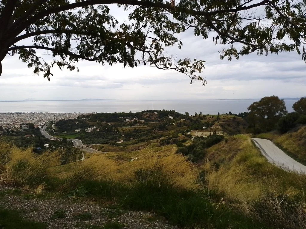
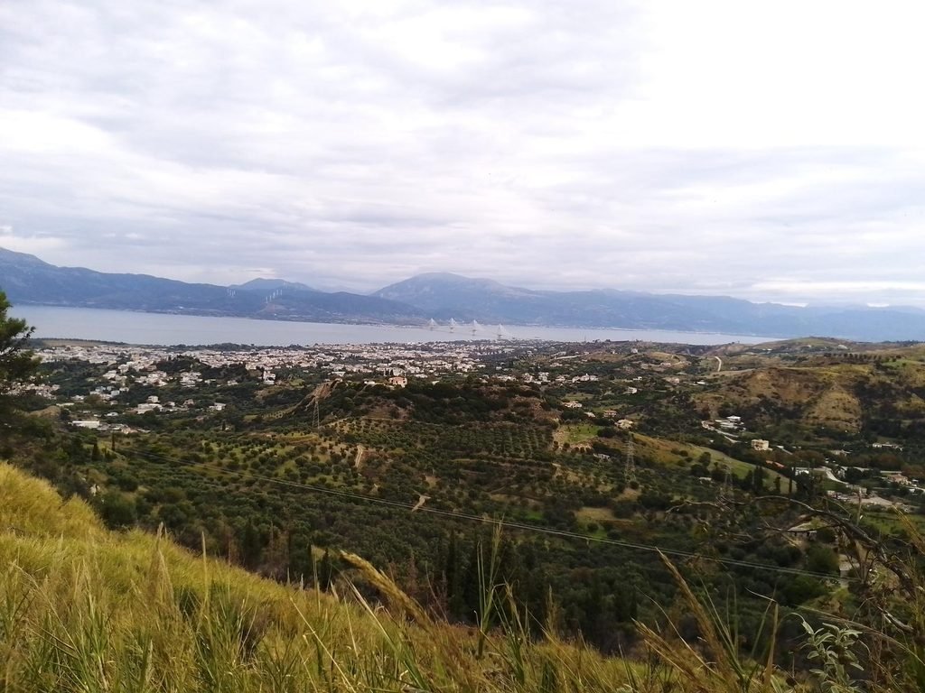
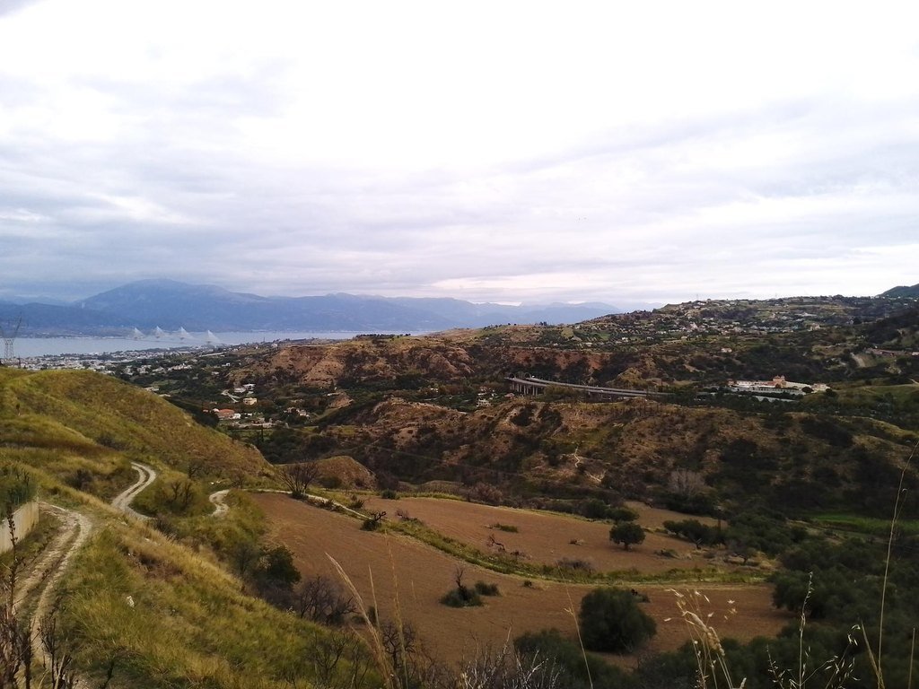
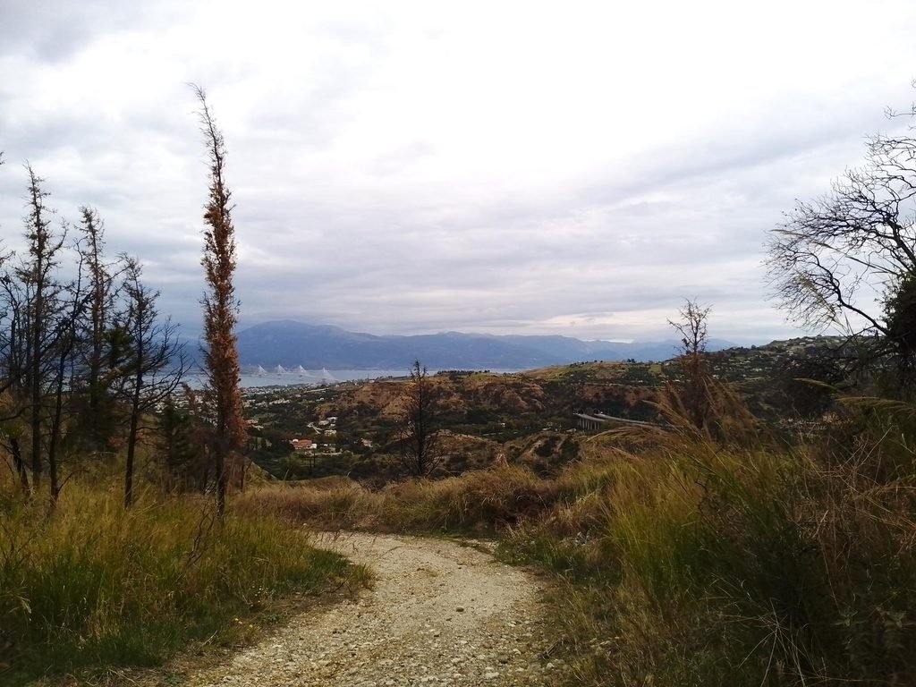
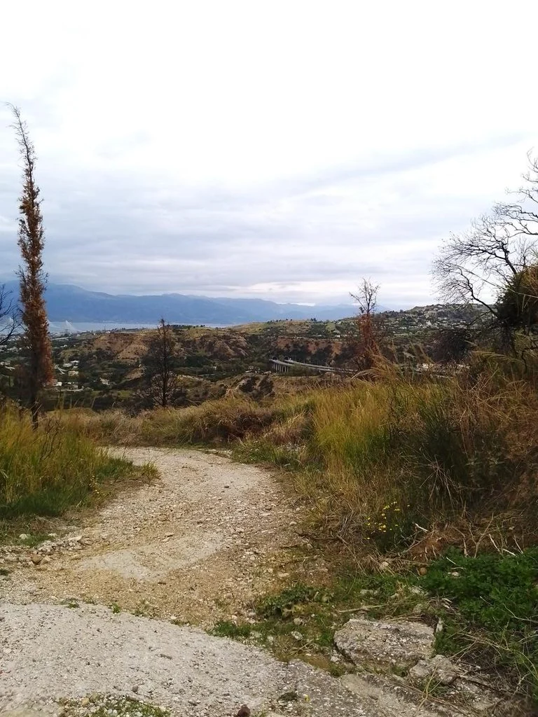
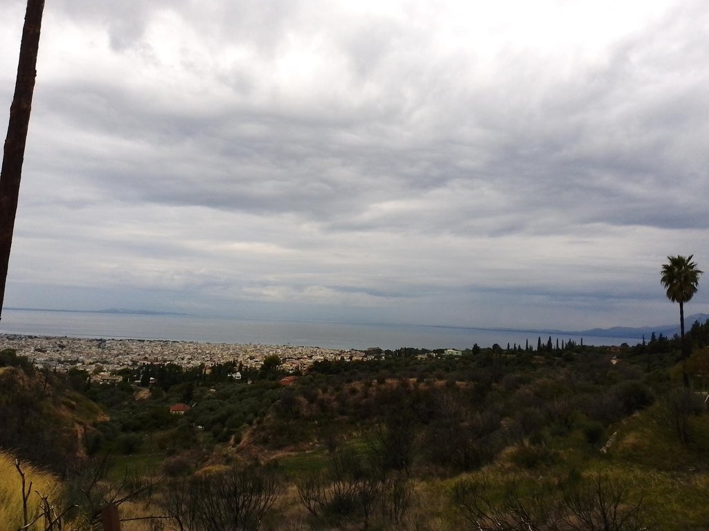
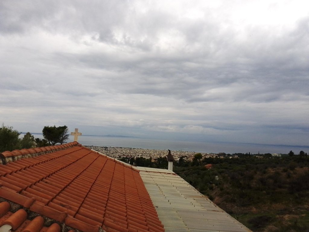
We followed a circular trail through the hills around Patras, passing olive groves and reaching a viewpoint overlooking the city, the sea, the Rio Antirrio Bridge, and the mountains on the opposite shore. This easy walk took just over two hours.